
Before You Drive Route 66: What the Road Trip Actually Involves

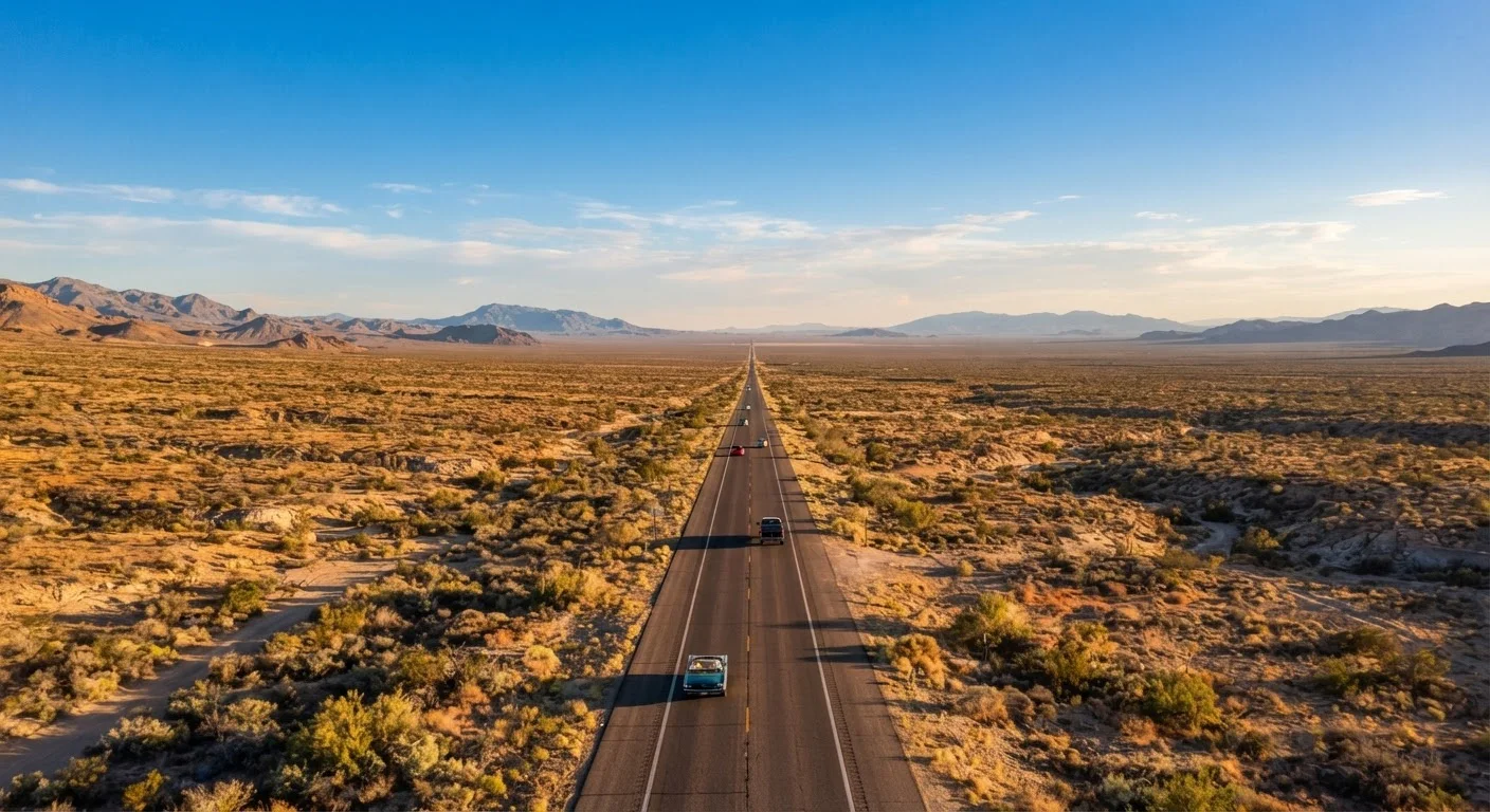
Photo: AscendWit.com | Explore Engaging Blogs. editorial
Key Takeaways
- Route 66 covers roughly 2,400 miles and typically requires 10-14 days to drive meaningfully.
- Long stretches of the route pass through remote areas with limited fuel, food, and cell service.
- Portions of the original road are unpaved, closed, or require detours - research specific segments in advance.
- Lodging in small towns can sell out quickly; booking ahead protects your itinerary.
- Vehicle condition and emergency preparedness matter more on Route 66 than on most highway trips.
What Route 66 Actually Is - and Isn't
Route 66 is not a single, continuous road you can simply follow on a standard GPS. Officially decommissioned as a US highway in 1985, the original alignment survives in fragments - some paved, some gravel, some blocked entirely. Travelers piece it together using dedicated Route 66 navigation apps, printed atlases, and state-by-state guides. Before planning any itinerary, it helps to understand what the experience actually demands.
The route runs from Chicago, Illinois to Santa Monica, California, crossing Missouri, Kansas, Oklahoma, Texas, New Mexico, and Arizona along the way. That's eight states and roughly 2,400 miles. Most travelers who want to stop at key landmarks, explore small towns, and avoid white-knuckling it through long desert drives should plan for at least 10 to 14 days - more if pacing matters to you. See how to build a realistic daily schedule before committing to a day-by-day plan.
The appeal is real: roadside diners, neon-lit motels, wide-open landscapes, and a living record of mid-20th century American travel culture. But the practical demands are also real, and the travelers who enjoy it most tend to be the ones who prepared honestly rather than romanticizing their way into a breakdown in the New Mexico desert.
Standard GPS Will Mislead You on Route 66
Tools and Resources You'll Need
Before working through the checklist below, make sure you have the right tools in place. Some of these are trip-specific; others apply to any long road trip.
Route 66 Navigation Guide or Dedicated App
Maps the historic alignment segment by segment, flagging detours, closed sections, and points of interest that standard GPS ignores.
Offline Map App
Provides turn-by-turn navigation in areas without cell service - essential for remote stretches in Oklahoma, Texas, and New Mexico.
Roadside Emergency Kit
Covers jump cables, a reflective triangle, a flashlight, and basic tools for breakdowns in areas where help may be hours away.
Satellite Communicator Device
Allows two-way messaging and emergency SOS signaling in areas with no cellular coverage.
Physical Route 66 Atlas
Serves as a backup navigation source and provides historical context for landmarks that apps sometimes omit.
The Route 66 Preparation Checklist
Work through these items before you leave home. They're organized by phase - not every item applies to every traveler, but each one addresses a real failure point that catches Route 66 drivers off guard.
Route Research
Lodging and Itinerary
Vehicle Preparation
Safety and Communication
Budget and Costs
Remote Breakdowns Can Mean Long Waits
A Few Realities Worth Naming Before You Go
Route 66 has stretches in western Oklahoma, the Texas Panhandle, and eastern New Mexico where towns are 40 to 70 miles apart and cell service is genuinely absent - not just spotty. A vehicle problem in those areas means waiting. Running a thorough pre-trip vehicle inspection before you leave is one of the highest-value things you can do for this specific trip.
If you're weighing whether a road trip of this length makes sense for your situation at all, it's worth reviewing the trade-offs between driving and flying for longer distances before you commit. Route 66 works best as a destination in itself - not as a way to get somewhere efficiently.
Finally, use a general trip planning checklist alongside this one to make sure documents, health prep, and packing basics don't fall through the cracks. Route 66 demands specific preparation, but it doesn't replace the fundamentals.
The content on this site is for informational purposes only and is not a substitute for professional advice. Always consult a qualified professional for guidance specific to your situation.